Using maps as a primary source can be very helpful in research. Different kinds of maps can be used to do research on different subject areas and topics. Your subject area and topic will determine the kind of map that will be most applicable to support your research questions.
Maps can provide insight into a specific place at a particular time, and they can also be used in comparison, to see how spaces are changing over time. It can show interesting information about soil and geology, weather and climate, vegetation, infrastructure, political, cultural, and economic activities. Maps are most useful as a visual tool to highlight different aspects of your research.
Researchers must also keep in mind that during the early centuries, historical maps haven’t always been accurate in their representations of spaces. This could be due to a lack of information or other reasons. By studying the differences between maps and exploring why the discrepancies exist, we can learn about history.
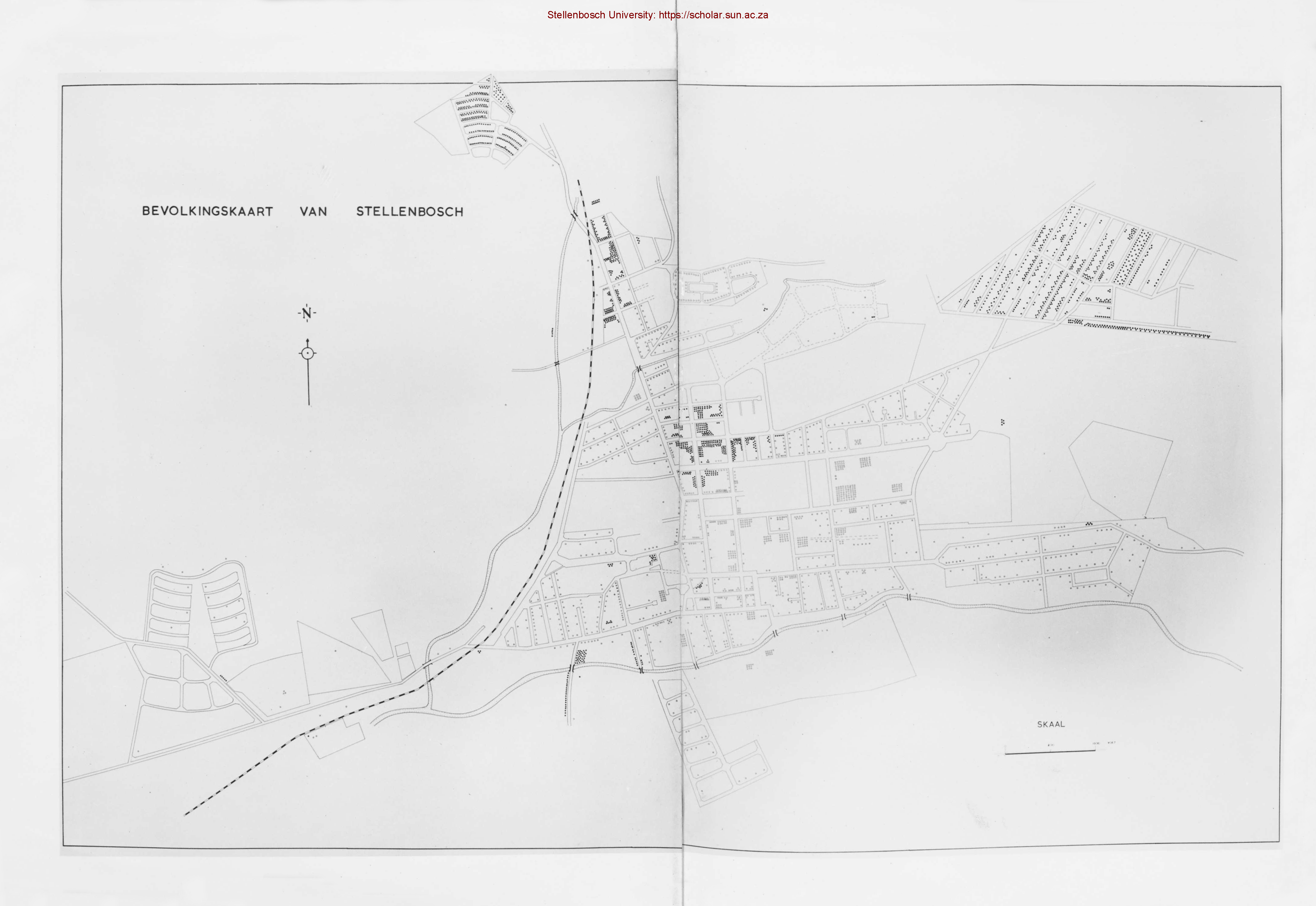
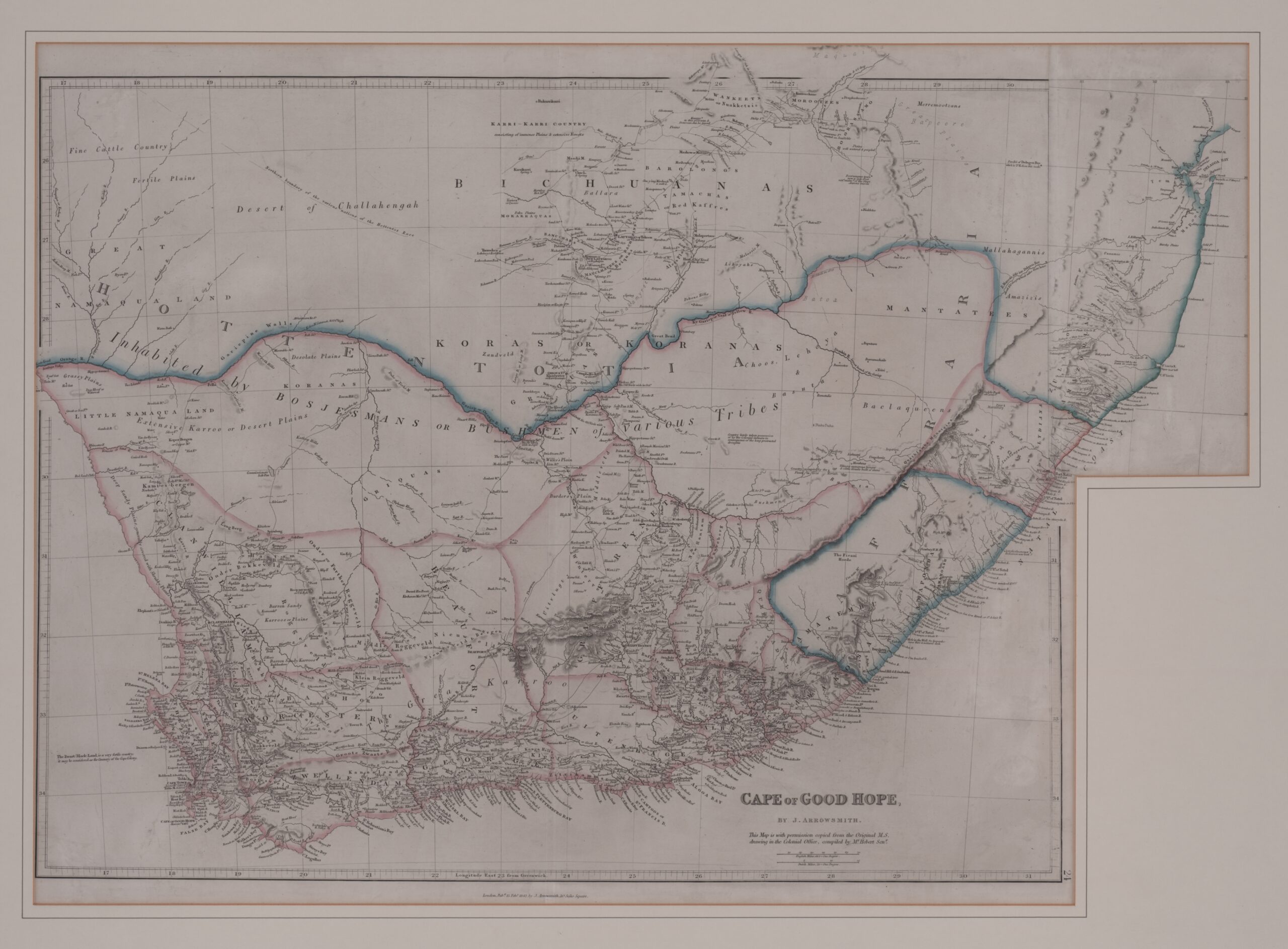
The Stellenbosch University Library and Information service, Special Collections has a collection of old and rare maps focusing on Africa. You can visit the Hugh Solomon Map Collection. Historical maps and atlases are also housed in Special Collections and interesting maps form part of some of the unique manuscript collections. The history of Stellenbosch can be discovered by using the research on early landowners in the Stellenbosch District and research on population statistics.
For more information on the usage of historical maps during your research, contact us at Special Collections library guide.
Author: Marieta Buys