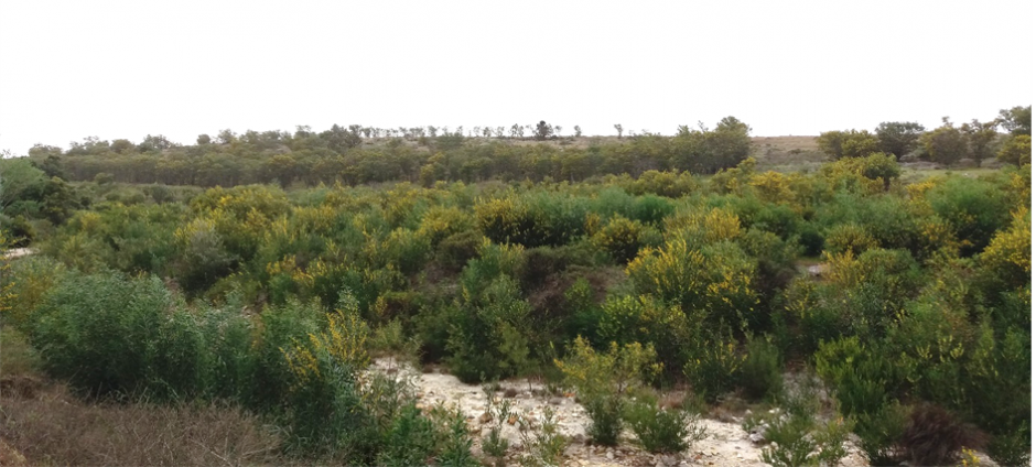
Invasive Alien Plants (IAPs) pose major threats to South Africa’s biodiversity, ecosystems and water resources. The availability of moderate resolution satellite data offers invasion scientists an opportunity to map and monitor the spread of IAPs, thanks to technological advances in satellite remote sensors.
A recent study by Mr Bhongolethu Mtengwana, a Masters student at the University of the Western Cape, used two multispectral remote sensing data sets to map IAPs in Cape Agulhas in the Western Cape, South Africa.
Results from the study showed that satellite technologies such as Landsat 8 and Sentinel 2 provided an invaluable operational framework for identifying and monitoring the occurrence and distribution of IAPs in catchments and other areas of economic importance.

Advancements such as the presence of red-edge and near infrared spectral bands were critical in capturing the inherent and subtle IAPs and other co-occurring plant phenological distinctions (seasonal events such as flowering, changes in leaf colouring), which enhanced their detection and mapping with an acceptable overall accuracy ranging between 70 – 90%. The study showed that IAPs are more pronounced on hill slopes and in riparian zones in the catchment.
“The results of our study underscores the relevance of spatial explicit analytical techniques in monitoring invasive plants especially in the face of climate change. Satellite remote sensing data presents us with an opportunity to monitor the spread of these species and to mitigate the impacts associated with their spread,” explains Bhongolethu Mtengwana, lead author of the study published in the African Journal of Ecology.
Satellite-derived IAPs thematic maps provide a baseline information for guiding clearing and rehabilitation strategies such as the South African Government’s “Working for Water Programme”. However, further scientific inquiry is required by considering species-specific potential distribution and more ecologically meaningful remotely sensed derived variables as opposed to raw spectral bands.
“The feasibility of using satellite remote sensing data to periodically quantify and monitor the spread of IAPs at regional to national scale has to be investigated,” said Bhongolethu, “as this will contribute in effectively managing the spread of these species at broad scale.”
Read the full paper
Mtengwana B, Dube T, Mkunyana YP, Mazvimavi D. Use of multispectral satellite data sets to improve ecological understanding of the distribution of Invasive Alien Plants in a water-limited catchment, South Africa. Afr J Ecol. 2000:1–10. https://doi.org/10.1111/aje.12751
For more information, contact Bhongolethu Mtengwana at 3544906@myuwc.ac.za
