A group of researchers, including Karl Reinecke and Cate Brown (both from Southern Waters), Karen Esler (C∙I∙B Core Team member) and Jackie King (WaterMatters), have developed a method that uses plant communities to determine the position of the 1:2 year flood line on rivers in the Fynbos biome that lack hydrological records.
The method was published in the African Journal of Aquatic Science.
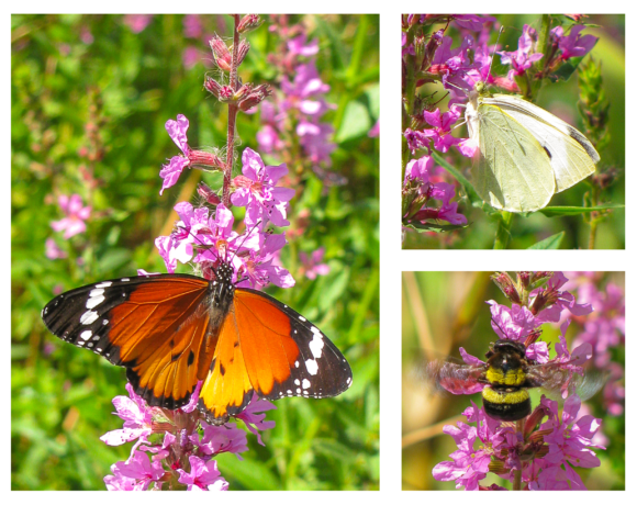
Vegetation patterns are the result of interacting biotic and abiotic processes, and water availability is likely a key determinant of these patterns. This can be seen as plants along rivers are arranged into a wet and a dry bank community that are separated from one another where the 1:2 year flood recurs on average. The 1:2 year flood is an inter-annual flood that recurs on average once every two years. Plants growing in the two communities have evolved different life history traits to cope with the prevailing flood conditions.
Plants in the wet bank, for example the Cape Willow (Salix mucronata), get inundated by the small annual floods as well as by the larger 1:2, 1:5 floods. Having almost permanent access to water all year round, they are less drought tolerant, while their fibrous root systems enable them to withstand the force of larger floods.
Dry bank plants on the other hand, for example the Wild Almond (Brabejum stellatifolium), are further away from the water table. They have longer deeper taproots, are more drought tolerant, and woody to resist the scouring force of the larger floods. This community zonation information is useful when actively restoring such communities or for understanding the impacts of dams and calculating flow releases.
But what happens in the absence of intact plant communities (e.g., after alien clearing) or in the absence of detailed hydrological records?
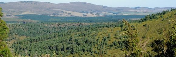
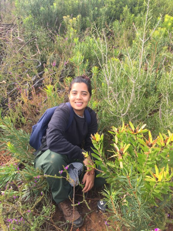
To answer this, Karl and colleagues examined the wet and dry communities of undisturbed upland rivers in the Fynbos biome. Since plant distribution is controlled by riverbank gradient (that translates to a hydrological gradient), simple rules based on measurements of distance and height from the water’s edge were calculated from the data collected at the undisturbed rivers. These rules can now be used to locate the positions of the two communities on other Fynbos rivers.
“The method can be used on rivers elsewhere to make the same calculations for other plant communities. This information will be useful in restoration strategies to help guide where wet and dry bank plant species should be planted and in environmental flow studies (EFlows) to cross-check modelled flood levels,” explains Karl Reinecke. “Even though each river is different when compared to others, river flow provides the overriding influence on the life history of river organisms in predictable ways.”
Read the paper
Reinecke MK, Brown CA, Esler KJ, King JM. 2022. Using riparian plant species to locate the 1:2 year floodline on single channel rivers. African Journal of Aquatic Science. https://doi.org/10.2989/16085914.2021.2007044