Unlocking the potential of Google Earth as a tool in invasion science
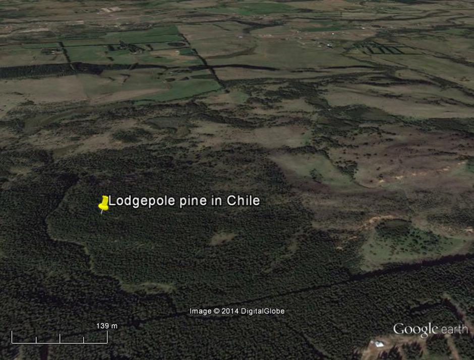
The use and popularity of Google Earth has grown tremendously since its launch, and it has a range of uses from mapping and viewing mountain bike routes to monitoring chimpanzee forest habitat. However, Google Earth had no formal recognition or guidelines for its use in the field of invasion science, despite the fact that many scientists and managers use it on a regular basis.
Comments Off on Unlocking the potential of Google Earth as a tool in invasion science
4 March 2014
