6 May 2014 | By John Wilson
Eradication of invasive alien plants requires that all populations of the plants have been found and every plant removed. This entails intensive searching, which often comes at a great expense. Maps that show where species are likely to occur are useful for guiding searches, and may reduce the costs and increase the success of eradication operations. Such maps are based on models that explore the links between plant distributions and climatic factors in order to predict where the plants might occur.
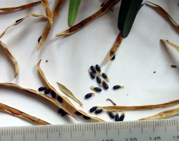
In a paper recently published in Biological Invasions and funded by Working for Water through the C·I·B and SANBI’s Invasive Species Programme, MSc student Haylee Kaplan and her supervisors considered the factors that determine where the invasive tree, hop wattle (Acacia stricta), occurs in the landscape. The research team mapped all hop wattle populations within a 1900 km2 study area in the Knysna and Wilderness sections of the Garden Route.
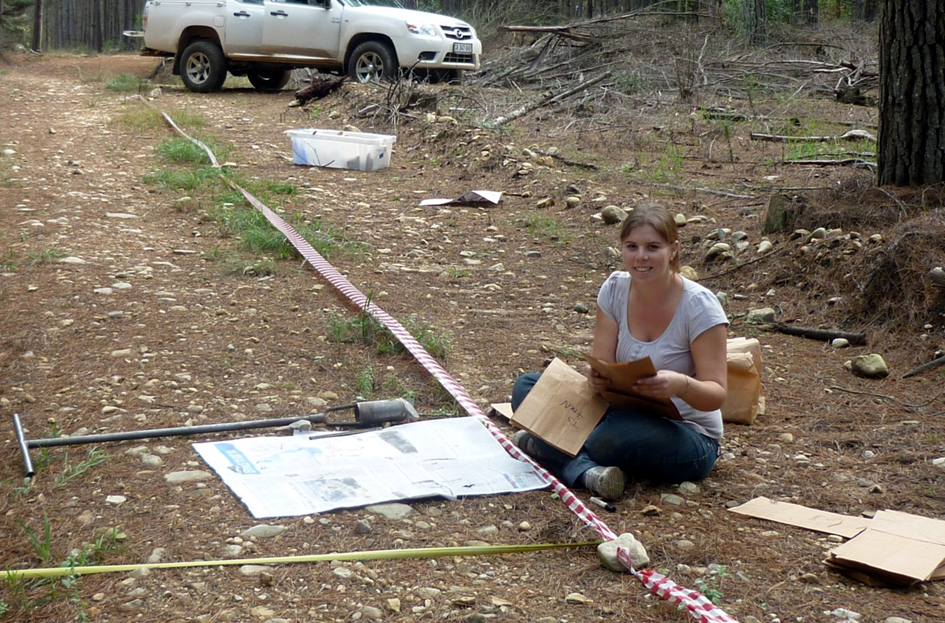
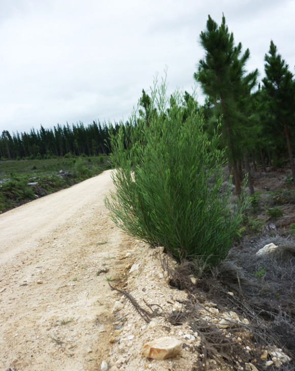
The authors found that the trees occurred almost exclusively in forestry plantations, especially those that had recently been planted or harvested. The survey found that the soil-stored seeds do not disperse far from the parent plant but are spread by road maintenance vehicles, and as a result plants tend to occur in dense clumps close to the roadsides.
These findings, in combination with climatic factors such as rainfall and temperature, helped the research team to predict where hop wattle is likely to be found. The team recommends that searches should be done in plantations that fall within climatically suitable zones (the southern Cape and the eastern part of the country). Vehicle searches should take place along gravel roads that cross forestry plantations, especially at recently harvested or planted plantation blocks, while searches on foot should be done within 50 m of roadsides in close proximity to where plants have previously been found. Targeting searches in this way can reduce the search effort needed by around 80%.
Using this multi-scale mapping approach, hop wattle populations can be located and removed. The authors recommend that similar multi-scale risk mapping approaches be developed for other invasive species.
Read the paper
For more information, contact John Wilson at jrwilson@sun.ac.za or invasivespecies@sanbi.org.za