Read more about the article Multi-scale predictive maps can help us manage tree invaders
Haylee Kaplan collecting soil core samples along a plantation road

Multi-scale predictive maps can help us manage tree invaders

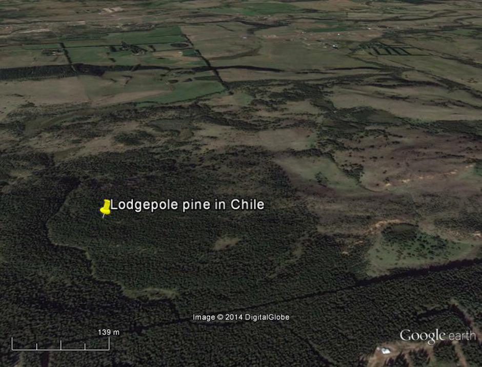
Eradication of invasive alien plants requires that all populations of the plants have been found and every plant removed. This entails intensive searching, which often comes at a great expense. Maps that show where species are likely to occur are useful for guiding searches, and may reduce the costs and increase the success of eradication operations. Such maps are based on models that explore the links between plant distributions and climatic factors in order to predict where the plants might occur.

Comments Off on Multi-scale predictive maps can help us manage tree invaders
Read more about the article Unlocking the potential of Google Earth as a tool in invasion science
Lodgepole pine (Pinus contorta) invasion in Chile at one of the sites described in the paper. The pine plantation is to the lower right corner of the image and the invaded area is directly above the diagonal line marking the original plantation boundary, although the invasion is now so dense that the two are almost indistinguishable. Photo credit: Google Earth.

Unlocking the potential of Google Earth as a tool in invasion science

The use and popularity of Google Earth has grown tremendously since its launch, and it has a range of uses from mapping and viewing mountain bike routes to monitoring chimpanzee forest habitat. However, Google Earth had no formal recognition or guidelines for its use in the field of invasion science, despite the fact that many scientists and managers use it on a regular basis.

Comments Off on Unlocking the potential of Google Earth as a tool in invasion science